Fancy a folkloric read? Check out #FolkloreThursday’s books!
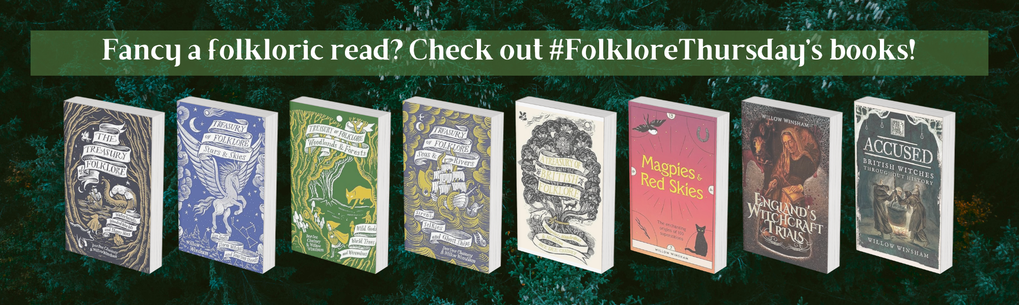
Fancy a folkloric read? Check out FolkloreThursday’s books!
Fancy a folkloric read? Check out FolkloreThursday’s books!

An old Russian fairy tale brings us food for thought in these challenging times. Lisa Schneidau explores the mysterious story of the Firebird.
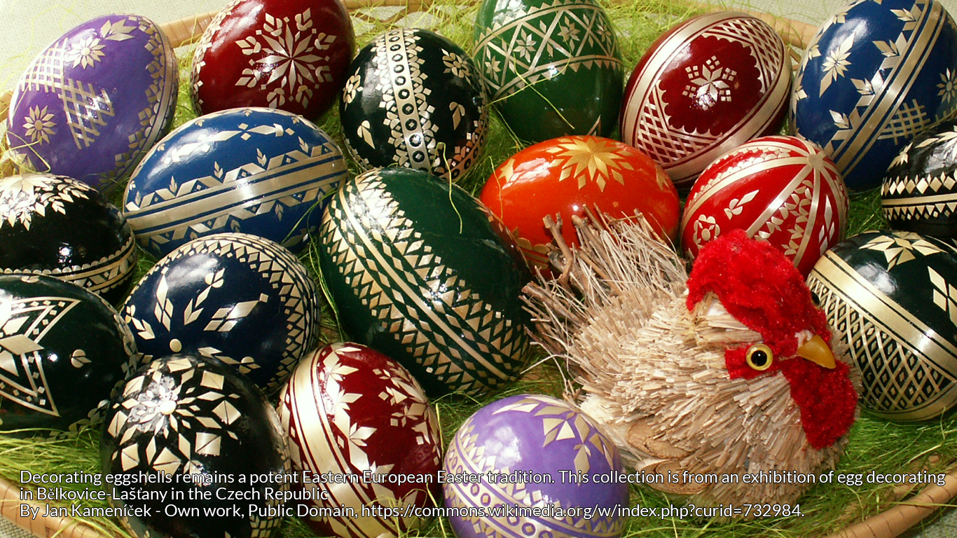
For millennia and across the world, the egg has been a powerful symbol, representing the earth, fertility and resurrection.

Daffodils are said to have dangerously toxic bulbs. Once, it’s claimed, they were used by Roman soldiers as a ‘go to’ suicide resource for times of desperation.
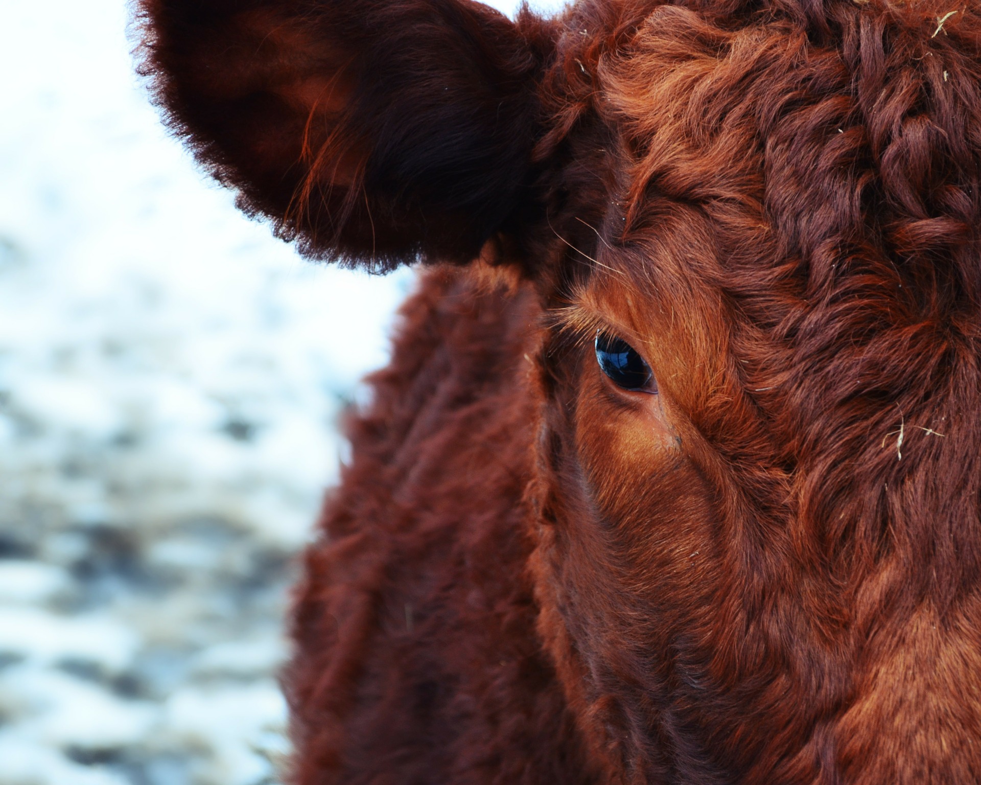
Kulning is a high pitched singing technique used by women to communicate with animals and over great distances, most common from 1500 to 1800 in Scandinavia.

The Skirrid Fawr Hill near Abergavenny in Wales is no ordinary hill, but a place of myth, legend, strong religious connection, and black deeds.
By continuing to use the site, you agree to the use of cookies. more information
The cookie settings on this website are set to "allow cookies" to give you the best browsing experience possible. If you continue to use this website without changing your cookie settings or you click "Accept" below then you are consenting to this.